

Albufera de Valencia
a complete visitor’s guide
What it is, what to see, when to go, how to get there and what time the sun sets, month by month.
The Albufera de Valencia is a freshwater lagoon next to the Mediterranean, about 10 kilometres from the city. It is the centre of a 21,120-hectare Natural Park where the lake, the rice fields and the Devesa del Saler sit side by side. Here you will find what to see, when to go, how to get there and what time the sun sets each month.
It is signed by Luis Marco Bru, “El Roig”, founder of Paseos El Roig and a lifelong resident of El Palmar. The figures that are not his come with their source at the end.
Contents of this guide
- 21,120ha
- of Natural Park
- 23.94km²
- of lake, ringed by 223 km² of rice fields
- < 1m
- average lake depth
- 3channels
- link the lake to the sea
- ~50springs
- (ullals) feed the lake
- 1986
- declared a Natural Park
What the Albufera is
The word albufera comes from the Arabic al-buhayra, “the small sea” or “the small lagoon”. The name fits: it is a coastal lagoon closed off from the sea by a sandbar and connected to it by three channels, the golas of Pujol, Perellonet and Perelló.
It is a protected wetland. The Valencian government declared it a Natural Park on 8 July 1986. It is also part of the European Natura 2000 network and the Ramsar list of wetlands.
How the park is organised
The park is not only water. It splits into four zones:
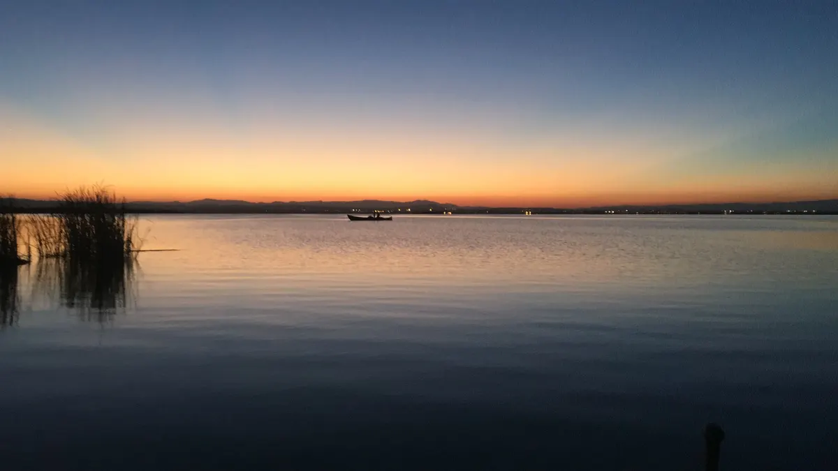
- The lake. Shallow: the average depth is under one metre and some points reach 130 centimetres. This is what you see by boat.
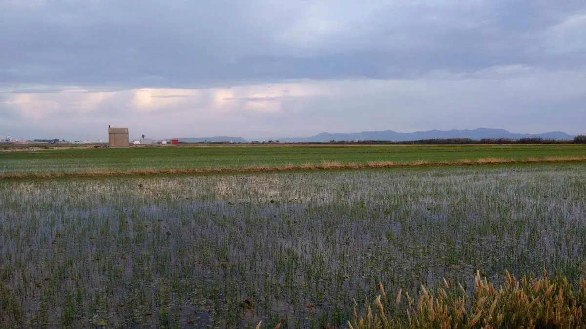
- The marjal. About 14,000 hectares, the largest part of the park and mostly rice fields. It works as a temporary lagoon that floods and dries with the farming cycle.
- The Devesa del Saler. The old coastal spit that closed off the lagoon: dunes, pine forest and beach between the lake and the sea.
- The monte. Small wooded islets inside the marjal.
Inside the marjal there are also about 50 ullals, springs of clean water that feed the lake and shelter endangered fish such as the fartet and the samaruc.
Map of the Albufera de Valencia
See our pier on Google Maps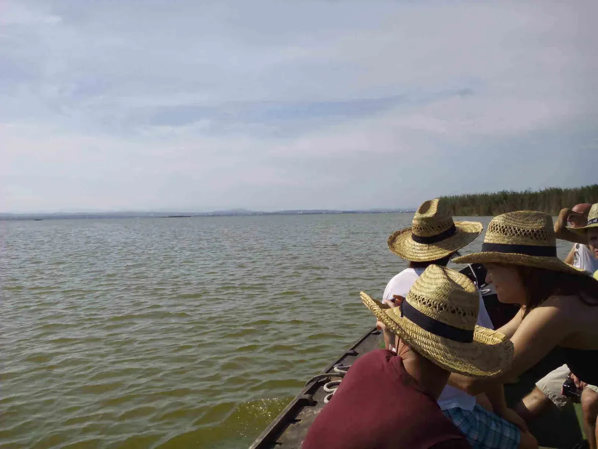
A short history
The lake has changed a lot in size and ownership. The milestones that have a source:
Blasco Ibáñez portrayed the life of the lake’s fishermen and rice farmers in Cañas y barro.
Wildlife
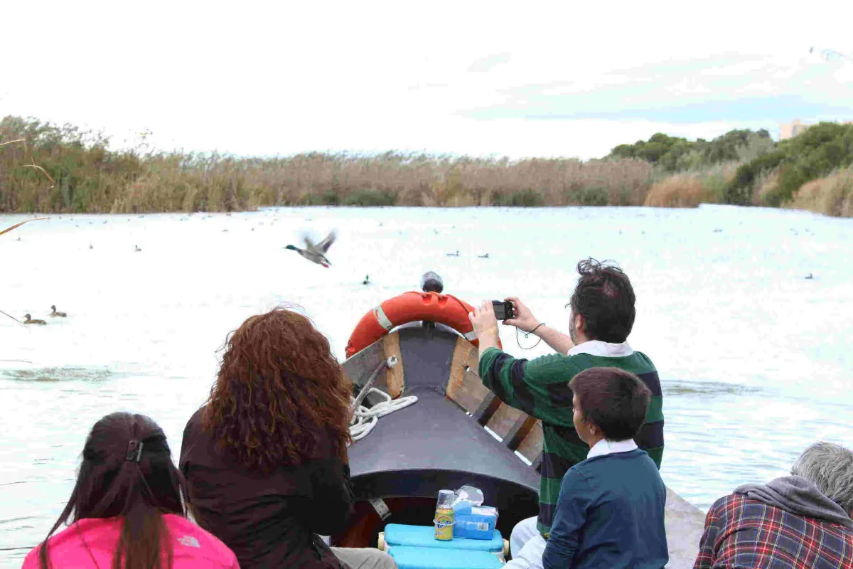
The Albufera is above all a bird wetland. Among the ducks, the red-crested pochard (up to 10,000 birds), the northern shoveler (up to 20,000) and the mallard stand out. There are also herons, including the grey heron, cattle egret and squacco heron, plus common tern, Sandwich tern, black-winged stilt and marbled teal. For many migratory species the lake is a stopover.
Underwater live endangered fish such as the fartet and the samaruc, which depend on the springs of the marjal.
What to see, place by place
Six places worth having on your map. For opening hours and conditions of anything public, always check the official website: they change.
The lake
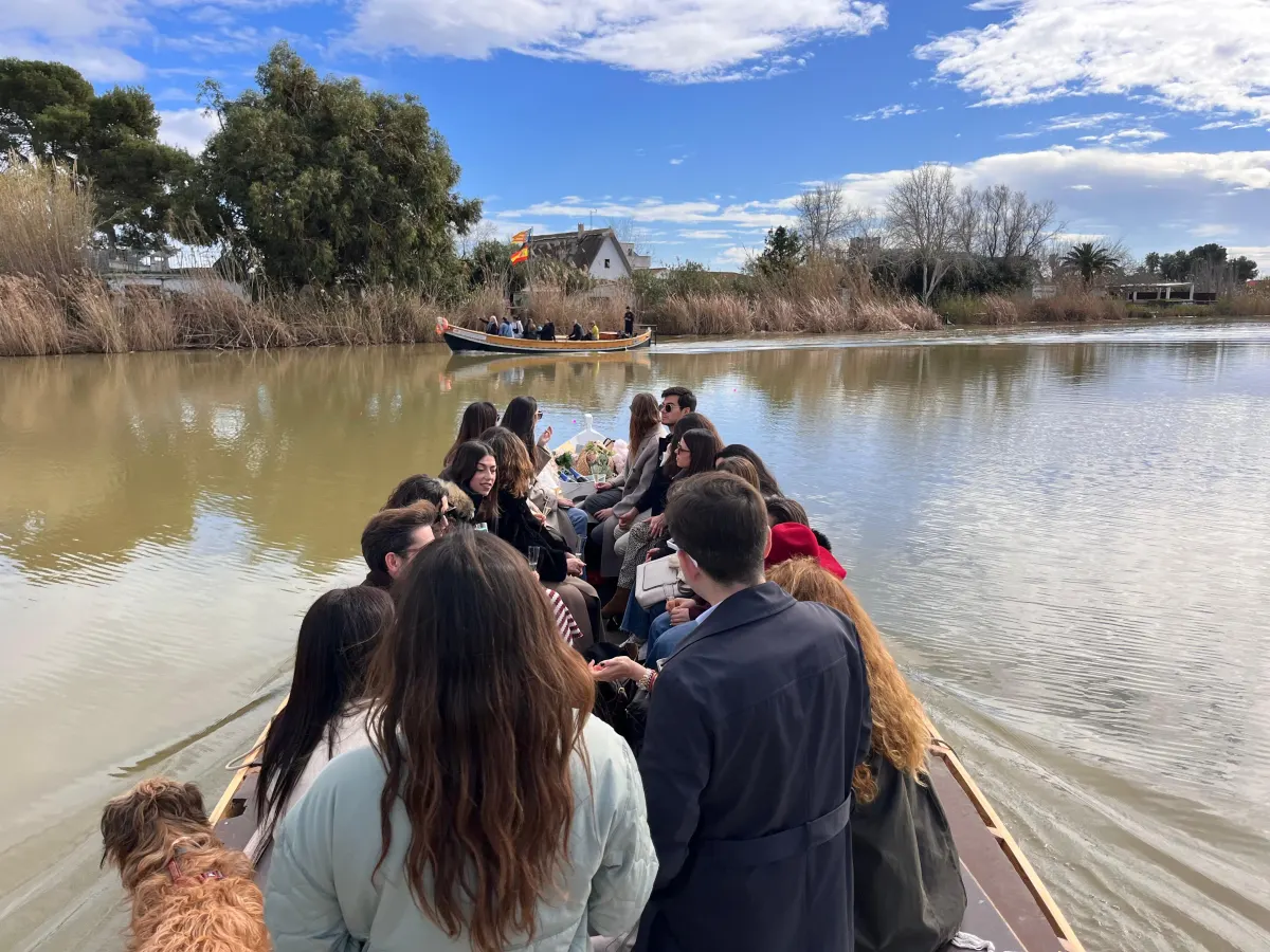
It gives its name to everything and is best seen from the water. It is shallow and has three outlets to the sea, the golas of Pujol, Perellonet and Perelló. From the shore you see a flat horizon; by boat you enter the channels between reed beds. Classic boat trip.
El Palmar
The village sits on an island surrounded by irrigation channels and the lake itself, and about 760 people live there today (INE, 2022). It is the place to eat rice and start your visit.
Racó de l’Olla
This is the Natural Park’s information centre, where El Roig worked for many years, and it has two observatories, one of them in the building itself. From there you see gatherings of ducks, herons and cormorants in autumn and winter. A black-headed gull colony breeds in the reserve. Opening times and visits are on the Valencian government’s website (in Spanish).
The Devesa del Saler
A strip of dunes that closed off the lagoon: an old coastal spit with dunes and a sandbar, between the lake and the beach. It is the most open and least built-up side of the park, good for walking or cycling.
The rice fields
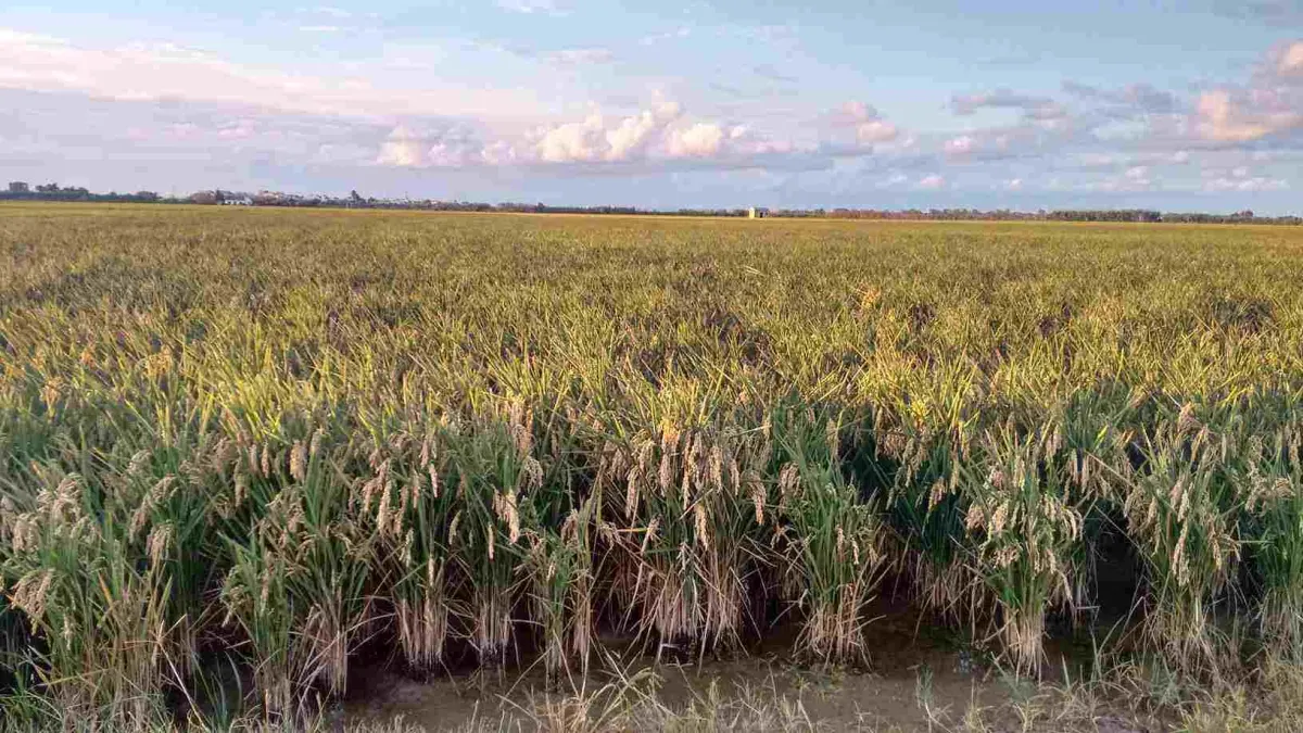
The marjal covers about 14,000 hectares, almost all of it rice. It changes with every season: dry before sowing, a mirror of water in summer, golden at harvest. See the rice calendar to know what to expect.
The ullals
These are the springs of the marjal, about 50 of them. According to Wikipedia, some, such as the ullal gros or the one at Baldoví, are in good condition, while those of the Huerta Sur are heavily degraded. The regional government sometimes runs guided visits to the Laguna del Samaruc; the calls are on its website.
Half-day and full-day itineraries
These are suggestions, not official timetables:
- Half a day (three to four hours): a boat trip, a walk around El Palmar and lunch.
- A full day: morning at Racó de l’Olla or among the rice fields, lunch in El Palmar and a sunset boat trip. The departure time depends on the month: use the sunset table further down so you do not arrive late.
When to go, season by season
Each season brings something different. Tap yours:
The rice fields dry out and are prepared. Sowing runs from late April to mid-May (DOP Arroz de València specification).
It is breeding season. The Racó de l’Olla reserve hosts a black-headed gull colony, with more than a thousand pairs in 2021 (Valencia City Council).
Sunset falls between 19:07 and 21:07 (15th of March to May).
Sunset trip in spring: 19:30 – 20:30 h.
From mid-May the fields can be seen already flooded (Valencia Plaza): the paddies go from dry ground to a mirror of water.
At the end of June, the black-headed gulls that have bred start leaving the Racó de l’Olla (Valencia City Council).
Sunset falls between 21:29 and 20:57 (15th of June to August). It is hot: bring water, a hat and sun protection.
Daytime trips in summer: 10:00 to 20:00 h. Sunset trip: 20:30 – 21:30 h.
September to November is among the best periods for migration: waders, ducks and raptors stop over on their way to Africa (birdwatching guide).
The rice harvest begins from September (Valencia Plaza).
Sunset falls between 20:10 and 17:46 (15th of September to November): arrive with time to spare.
Sunset trip in autumn: 18:30 – 19:30 h.
Wintering season for waterbirds. According to Wikipedia, red-crested pochard reach 10,000 birds and northern shoveler 20,000.
From the Racó de l’Olla observatory you can see large gatherings of ducks, herons and cormorants (Turisme Comunitat Valenciana).
It gets dark early: sunset is around 17:38 (15 December) and 18:37 (15 February).
Daytime trips in winter: 10:00 to 17:00 h. Sunset trip: 17:30 – 18:30 h.
What time the sun sets at the Albufera
The time changes by almost four hours between December and June, so check the month before planning your visit:
Sunset on the 15th of each month at the El Palmar pier (astronomical calculation, Madrid local time, 24-hour clock, ±2 min). The actual departure time of the trip changes by season: check the sunset trip page.


To see it from the water, there is the sunset boat trip.
Rice and paella
Rice fields cover a large part of the park. According to Wikipedia, mostly bomba-type rice, variety Bahía, is grown. We only have sourced dates for three moments of the year:
Sowing · Late April to mid-May
Flooded fields · From mid-May
Harvest · From September
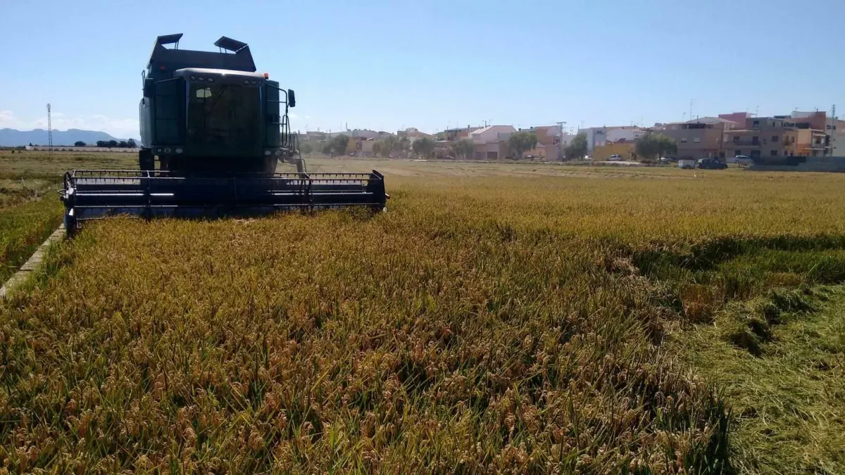
That rice ends up in the paella, and El Palmar is where it is usually eaten.
Things to do
- Take a boat trip on the lake and channels. It is the main plan, and the boatmen of El Palmar still go out in traditional boats. Classic boat trip.
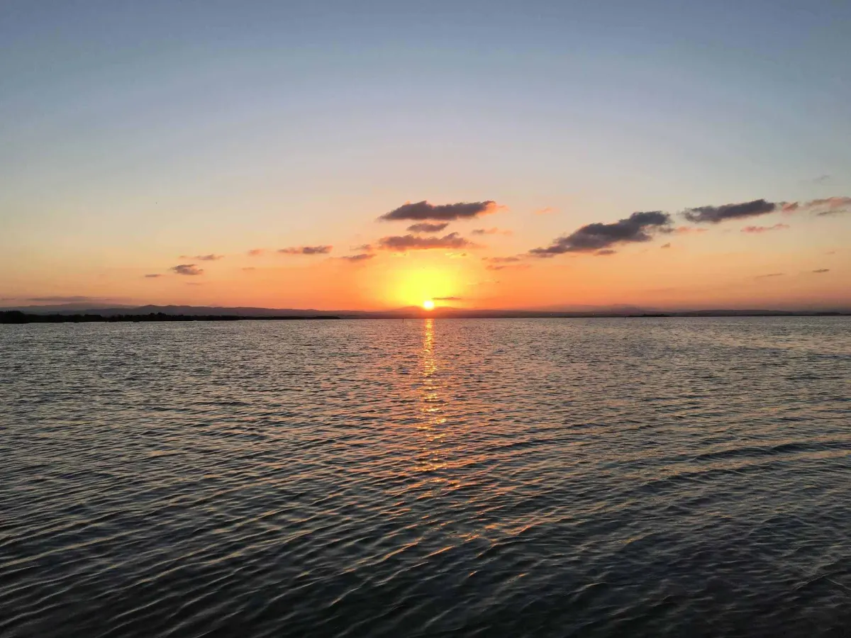
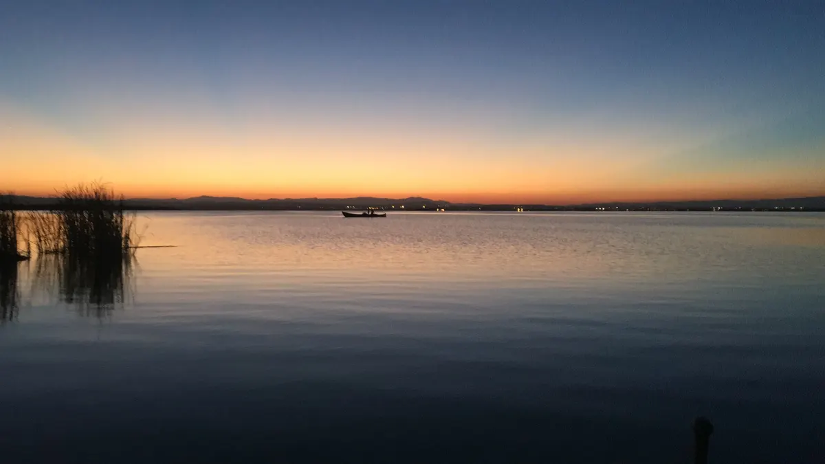
- Watch the sunset, best from the water. Sunset boat trip.
- Eat rice in El Palmar. There are restaurants all over the village.
- Watch birds, with binoculars from the boat or from the Racó de l’Olla observatories.
- Cycle through the rice fields. There are flat tracks between the fields; in summer, bring water and sun protection.
- Walk the Devesa del Saler, between the lake and the sea: dunes, pine forest and beach.
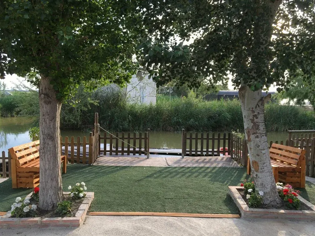
- See a Valencian barraca, the traditional house of mud and reed. There is one at our pier.
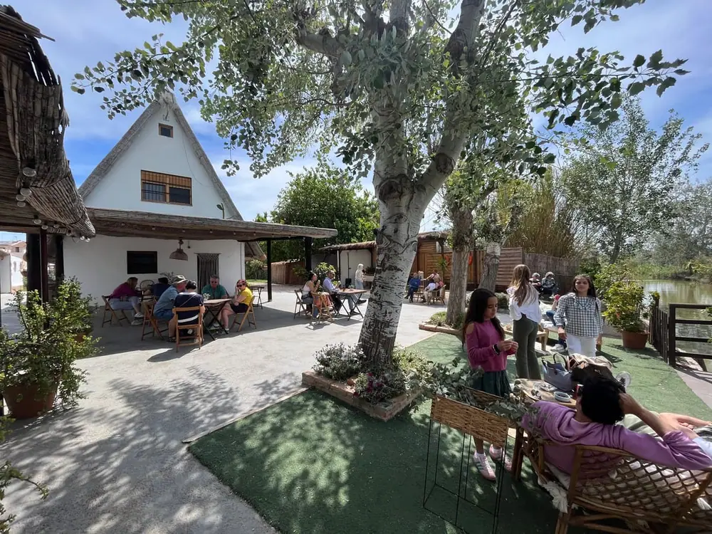
Getting there from Valencia
- By car: take the CV-500 towards El Saler and the turn-off for El Palmar. It is about 15 km, 15 to 20 minutes from the centre. There is free parking next to our pier.
- By bus: EMT line 24. Timetables change: check them on the EMT website.
- By taxi or ride-hailing app: from anywhere in the city.
- By bike: the terrain is flat and there are cycle lanes towards the area.
Pier address: Carrer del Santíssim Crist de la Salut, 27, El Palmar (Valencia). More details on how to get here.
Which plan suits you
What does your visit look like?
Duration 40–45 minutes. Channels between rice fields and open lake, with the traditional barraca at the pier. €5 adult · €3 child.
See the classic trip →Duration 1 hour. The sun drops over the water from the middle of the lake. €7 adult · €4 child.
See the sunset trip →Children up to 12 pay €3 and babies in arms are free. Child life jackets are available, and strollers and pets are welcome.
See conditions →The pier is in El Palmar, about 15 km south of Valencia and 15–20 minutes by car. There is free parking next to the pier.
How to get here →Photos
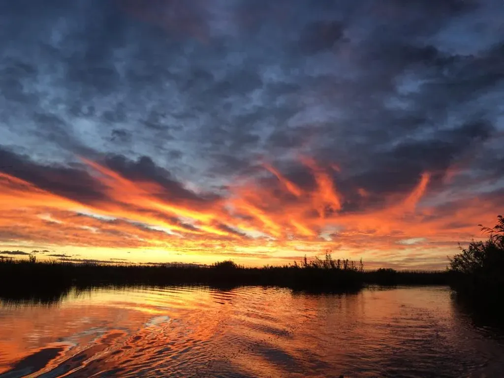
Photos of the lake and the El Palmar pier.



Frequently asked questions about the Albufera de Valencia
What is the Albufera de Valencia?
A freshwater coastal lagoon separated from the sea by a strip of sand, about 10 km from the city. It is the core of a 21,120-hectare Natural Park that includes the lake, the rice fields and the Devesa del Saler.
How far is it from Valencia?
Spain’s official tourism site puts it about 10 km from the city. El Palmar, the village where our pier is, is about 15 km by road: 15 to 20 minutes by car.
How big is the lake?
According to Wikipedia, 23.94 km² (about 2,394 hectares), surrounded by 223 km² of rice fields. Some sources give 2,800 hectares, which matches historical measurements. The average depth is under one metre.
When is the best time to visit?
It depends on what you want. Spain’s tourism site recommends spring and summer for the weather and the return of migratory birds. For birdwatching, September to November (migration) and winter are especially good. For sunsets, see the table of times in this guide.
How do I get there without a car?
By bus (EMT line 24; check timetables on the EMT website) or by taxi or ride-hailing app from central Valencia. By car, take the CV-500 towards El Saler and the turn-off for El Palmar.
How much is a boat trip on the lake?
At our pier, the classic boat trip lasts 40–45 minutes and costs €5 per adult and €3 per child.
Can you see flamingos?
Sometimes, mostly in flooded rice fields. Their presence depends on the fields having water (Valencia Plaza). They are wild birds: nobody can promise a sighting.
What is the difference between the Albufera, the Devesa and El Palmar?
The Albufera is the lake and, by extension, the whole park. The Devesa del Saler is the strip of dunes and pine forest that separates it from the sea. El Palmar is the fishing and rice-farming village inside the park.
Sources
Figures on area, depth, park zones, golas, ullals, wildlife, history and declaration dates come from Wikipedia, “Albufera de Valencia” (Spanish). Distance to the city, the name and recommended seasons come from Turespaña (spain.info). For rice sowing we used the DOP Arroz de València specification and Valencia Plaza. On black-headed gull breeding, Valencia City Council. For Racó de l’Olla, the Natural Park on the Valencian government site and Turisme Comunitat Valenciana.
Sunset times are an astronomical calculation for the coordinates of our pier, not a figure from any website. One discrepancy to know about: the lake’s surface varies by source (23.94 km² versus 2,800 hectares). We used the first and mention the second.
Want to see the lake from the water?
Our family has run boat trips from El Palmar for generations. English is spoken on board.